Weather will play an important role in this race. Big picture weather forecasting like the kind you can get from the below link will only help you so far (and only be available to most of us before the race and at a stop in a town with wifi or computer access.) Local weather will look very different because you can get in microclimates of a particular point of land or inlet. We will rely on radio weather broadcasts, weather guides and local knowledge. Things can change fast. Look out for the black line on the horizon to the northwest.
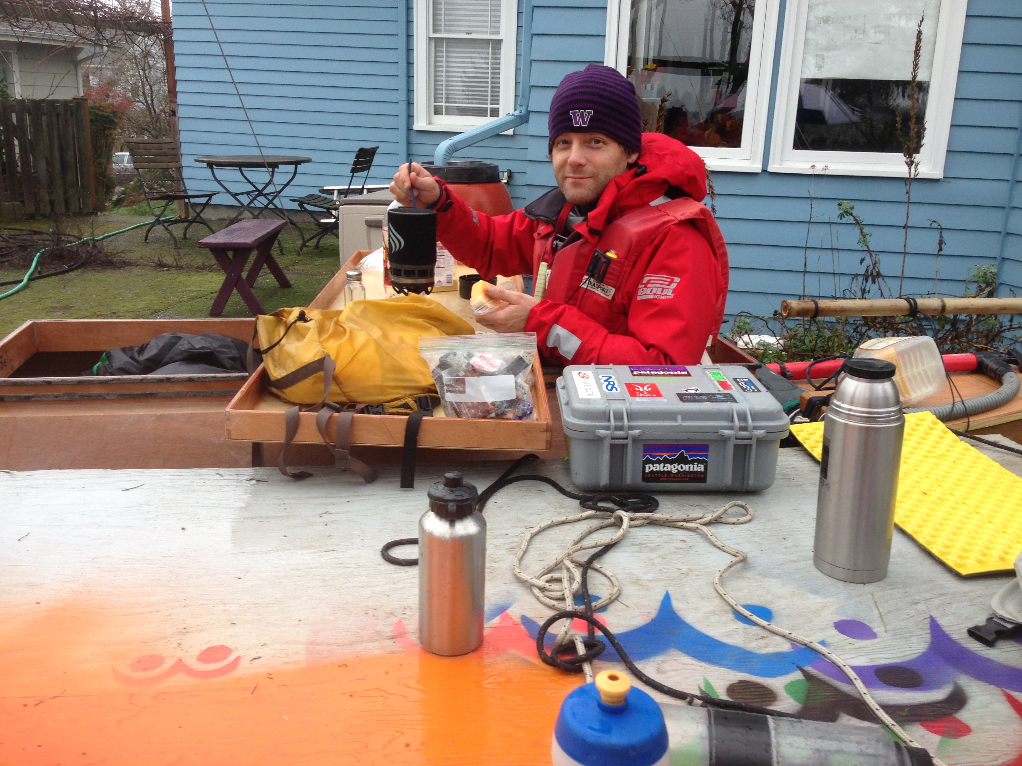
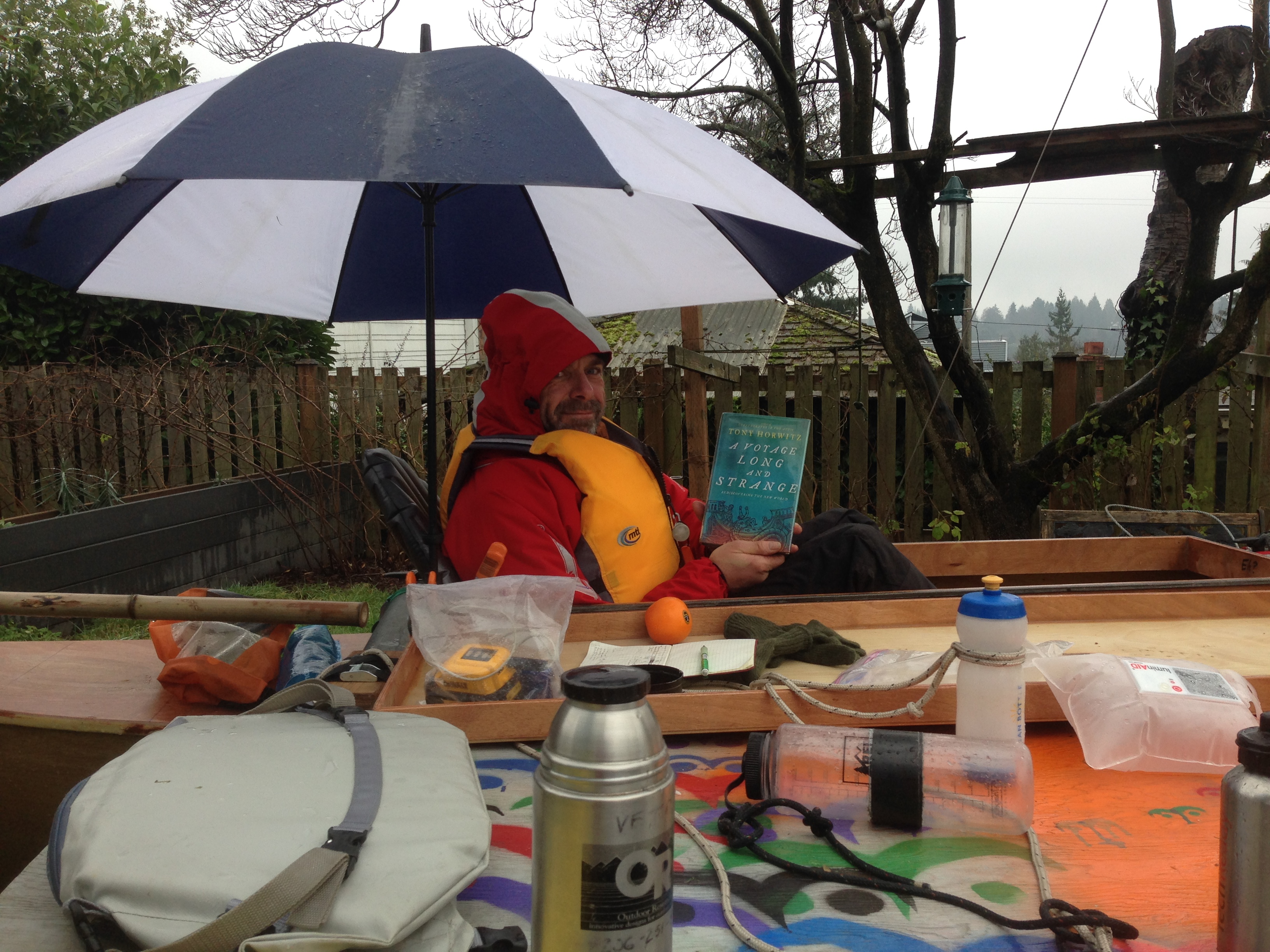
Scott and I spent the weekend testing stuff for the R2AK and boy do we have stories. There be some video editing though before we are ready to show you the main activity of Saturday. Meanwhile we spent Saturday afternoon and Sunday morning camped on the boat “Finding Alaska”
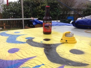
Which Is the better compass to steer by when trying to get to Alaska?
Cooking Breakfast.
Reading A VOYAGE LONG AND STRANGE by Tony Horwitz.
You can’t go on one of these types of adventures without a bunch of gear. We are making some, we are modify some and of course some works so well we can use it as we buy it – off the shelf. Right now we are in full test mode trying out this fabric versus that fabric. Sleeping in wet gear and getting some rest. Concocting meals, figuring out ways to cook, how to start a fire when you you’ve gone hypothermic – yes we are inducing it and then trying to recover but under controlled conditions. We’ll be posting more on this topic later with both raw data and our takes on what works best. We have spent years being adventurers so we have our biases. We like these guys not just for their great gear and willingness to work with us on setting issues right but also for their excellent film series.
The Race to Alaska challenges us to reconsider how to propel a boat with human power. I hope the race evolves to be a novel, inspiring test bed for all sorts of solutions, but it’s clear that already it has got creative juices flowing as many participants and observers think outside of their comfort zones. While some of the experienced rowers are wondering whether if/how they should add sails, some us experienced sailors are wondering if rowing is the best human-powered technology.
I hope the race motivates a long discussion and much re-consideration of both new and old technologies. Not only has the technological revolution brought us innovations like the Hobie Mirage drive and pedal power, but the Internet has slowly revealed time-tested propulsion methods that aren’t seen too often in the Pacific Northwest, like yulohs. And of course, one shouldn’t forget that canoe and kayak paddles have moved humans up and down the BC coast efficiently for millennia…
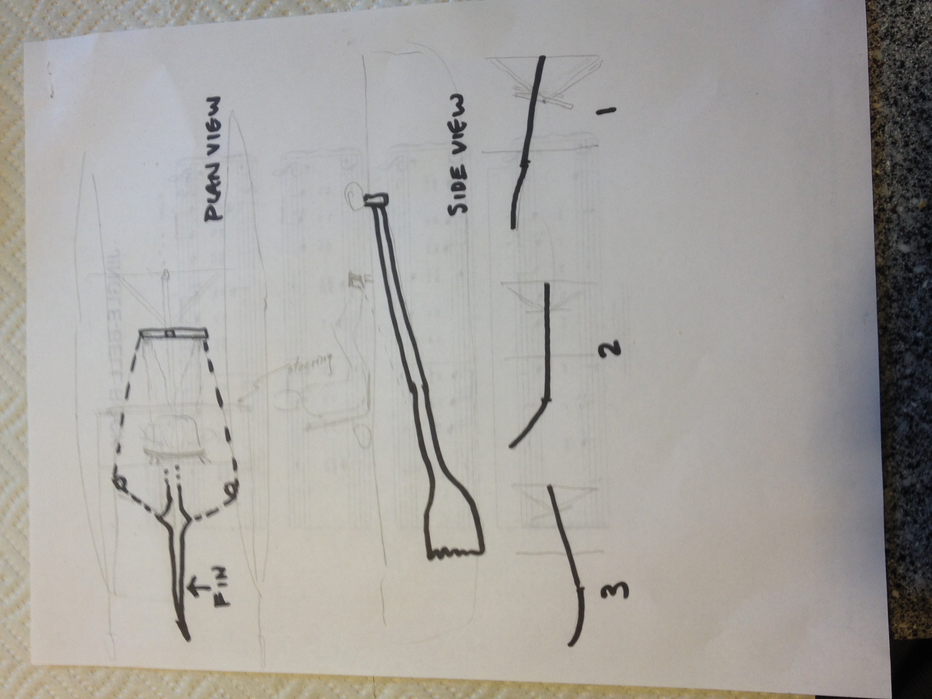
Speaking of yulohs, here’s an example of that happens when you ask a smart person (my dad, Val Veirs in this case) to consider the problem. After a 1/2-hour discussion with Thomas about pedal drives in the backyard, he sketched this fin-based solution —
A pencil/pen sketch of a novel way of propelling our catamaran in the R2AK. A fin on a long pole pivots off the front beam and is forced back and forth by human legs pushing on a control bar.
This mimics how most fish, including really big ones like sharks, swim (and they have a lot of experience). It is also reminiscent of the yuloh — a long oar that is directed aft, pivots off the transom, and has a vertical blade — which has been used to move a wide variety of boats in Asia for a long time. Prior to entering the race, yulohs and the Italian forcole were on the top of my list to test out on my Tiki 21.
We’ll think about whether such a solution makes sense from the many perspectives we’re considering. (How much does it weigh? How efficient is it? Does it use different muscle groups than other methods? Can it be stowed away when sailing?) In the interim, you watch these two awesome video demonstrations of how well a fin or yuloh can work.
Are you inspired? What human powered propulsion would or will you use this June? Let the conversation continue!
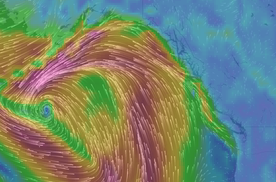
What does all that red color mean? Since we’re not in the recreational boating season, it means average or mean wind speeds (not just gusts!) greater than or equal to 34 knots!
Synoptic warnings include the following four categories of winds and freezing spray:
Strong wind: Wind speed of 20 to 33 knots inclusive. Strong wind warnings are only issued for coastal or inland waters during the recreational boating season.
Gale-force wind: Wind speed of 34 to 47 knots inclusive.
Storm-force wind: Wind speed of 48 to 63 knots inclusive.
Hurricane-force wind: Wind speed of 64 knots or greater.
Freezing spray: Ice build-up rate on marine infrastructure 0.7 centimetres per hour or faster.
Note that synoptic wind warnings apply to the mean wind only. Synoptic wind warnings are not issued for wind gusts that happen to reach warning criteria.