Vicious water: Hecate Strait as depicted in “The Golden Spruce”

“The water in Rupert is boiling, rough water and that’s just by the dock… It’s vicious that water, just vicious.” — Pat Campbell

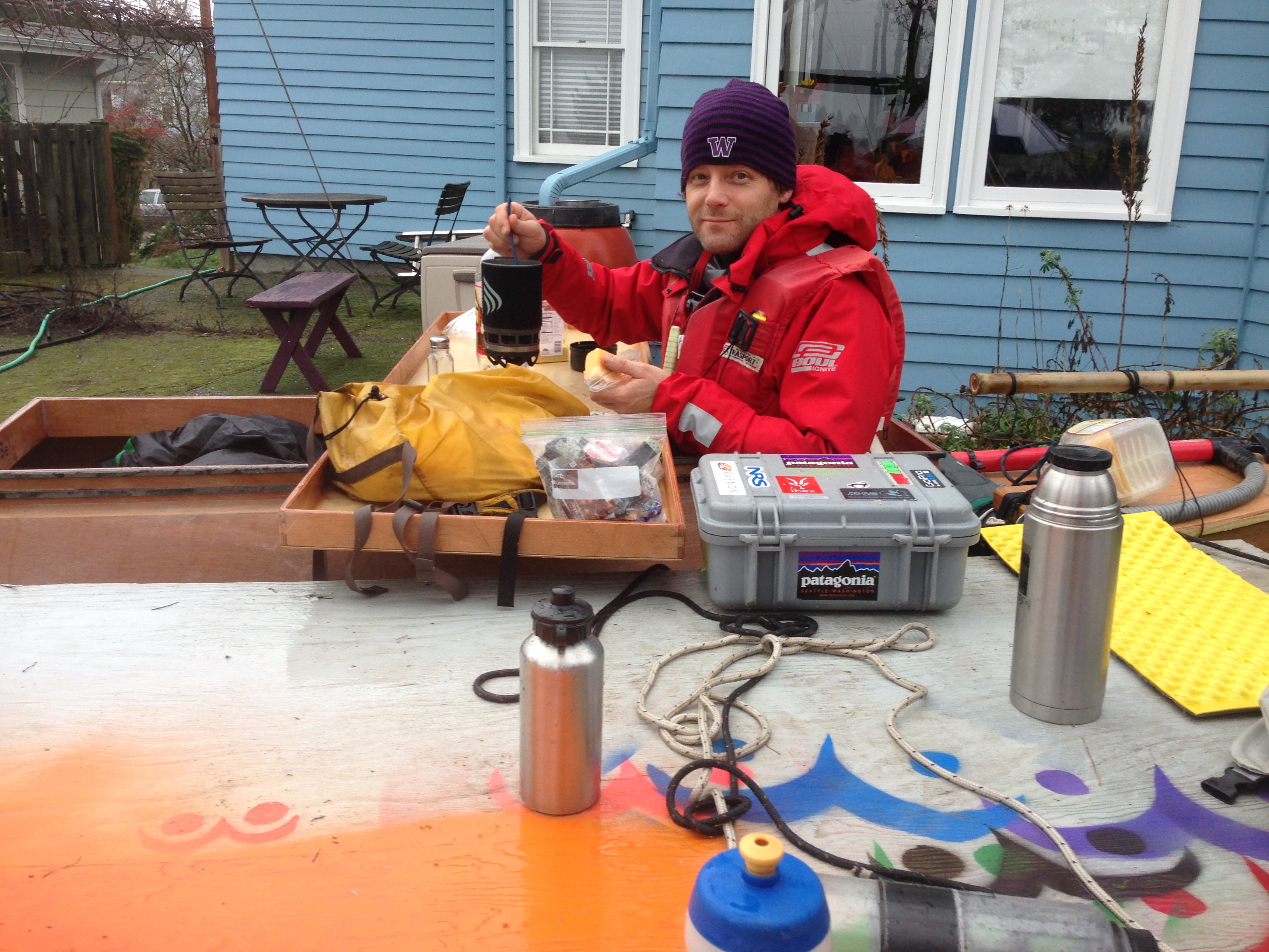
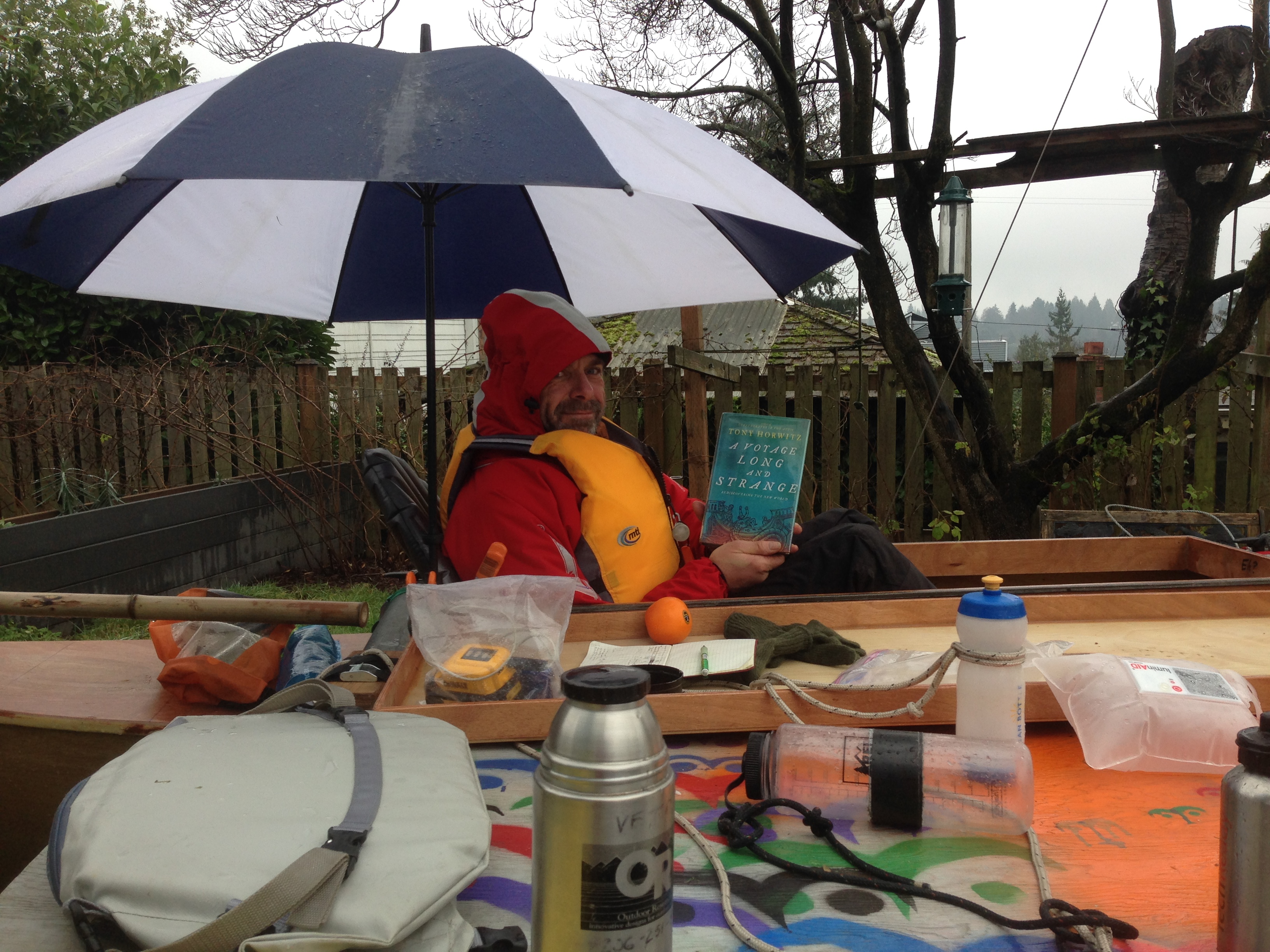
Before and since my 2015 R2AK = Race Towards Alaska, I’ve enjoyed reading novels and non-fiction that take place along the race route: the coasts of Washington, British Columbia, and Alaska.  While my favorite is still Ivan Doig’s “Sea Runners” (inspiration for our team name), the most recent good read was John Valliant’s “The Golden Spruce” in which the main character attempts to kayak from Prince Rupert across Hecate Strait to Haida Gwaii — in February.  The question of whether he perished in the process, or staged an accident and disappeared into the woods beyond Ketchikan is an intriguing one, but what caught my #R2AK-eye was the author’s description of the oceanography of Hecate Strait and Dixon Entrance.

…Hecate Strait is arguably the most dangerous body of water on the coast.  The strait is a malevolent weather factory; on a regular basis its unique combination of wind, tide, shoals, and shallows produces a kind of destructive synergy that has few parallels elsewhere in nature.  From the northeast come katabatic winds generated by cold air rushing down from the mountains and funnelling, wind-tunnel style, through the region’s many fjords, the largest of these being Portland Inlet, which empties into the strait 50 km north of Prince Rupert.  Winter storms, meanwhile are generally driven by Arctic low pressure systems born over Alaska, and they tend to manifest themselves as southerlies along the coast.  It is because of these winds that the weather buoy at the south end of Hecate Strait has registered waves over 30 meters high.  One of the things that makes the strait so dangerous is that these two opposing weather systems can occur simultaneously.  Thus, when a southwesterly sea storm, blowing at 80 – 160 km/hr collides, head-on, with a northesasterly katabatic wind blowing at similar strength, the result is a kind of atmospheric hammer-and-anvil effect.  Veteran North Coast kayakers tell stories of winds like this lifting 180 kg of boat and paddler completely out of the water and heaving them through the air.

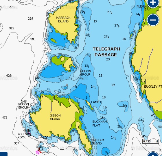
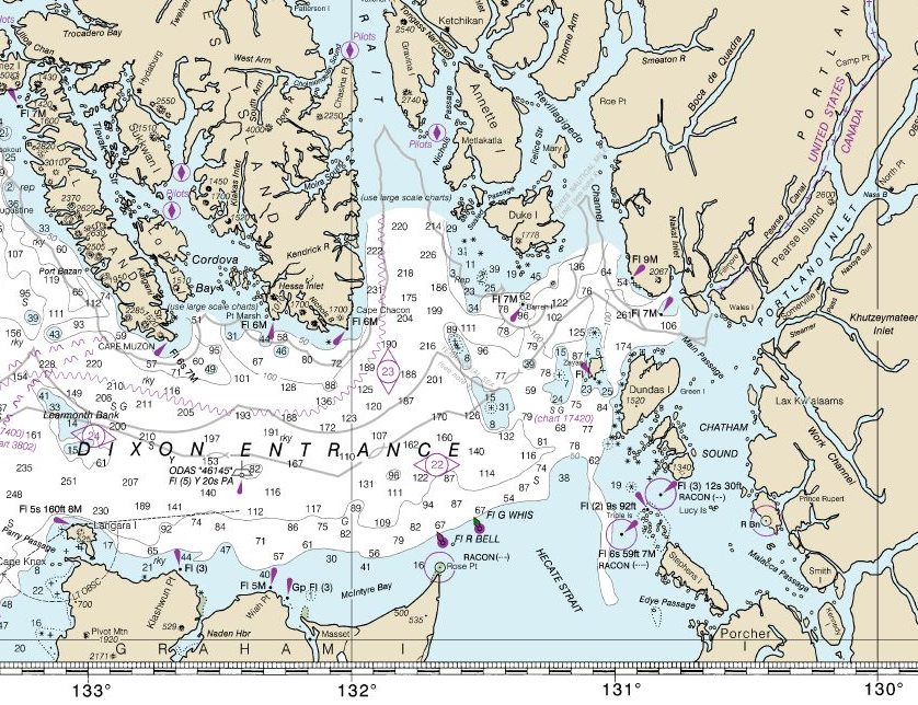
NOAA chart showing Prince Rupert, Masset, and Ketchikan.

But this is only one ingredient in Hecate Strait’s chaos formula.  Tides are another; in this area they run to 7 meters, which means that twice each day vast quantities of water are being pumped in and out of the coast’s maze of inlets, fjords, and channels.  The transfer of such volumes in the open ocean is a relatively orderly process, but when it occurs within a confined area like Hecate Strait that is not only narrow but shallow, the effect is of a giant thumb being pressed over the end of an even larger garden hose.  The scientific name for this is the Venturi effect, and the result is dramatic increase in pressure and flow.  A third ingredient is a frightening thing called an overfall which occurs when wind and tide are moving rapidly in opposite directions.  Overfalls are steep, closely packed, unpredictable waves capable — even a modest height of 4-5 meters — of rolling a fishing boat an driving it into the sea bottom.  They can show up anywhere but their effects are intensified by sandbars and shoals like the one that extends for 30 km off the end of Rose Spit between Masset and Prince Rupert.  Under certain conditions, overfalls take the form of “blind rollers,” which are large, nearly vertical waves that roll without breaking; not only are these waves virtually silent, but under poor light conditions they are also invisible — until you are inside them.  If one then factors in the prevailing deep-sea swell that in winter surges eastward through Dixon Entrance at heights of 10-20 meters, and the fact that a large enough wave will expose the sea floor of Hecate Strait , the result is one of the most diabolically hostile environments that wind , sea, and land are capable of conjuring up.


Audio report #2 from R2AK 2016: whales, hypothermia, sleep deprivation, & other yarns

With good cell phone reception and more fickle, light winds off of Prince Rupert, Thomas called in from the final phase of his #R2AK 2016 adventure and spun some yarns.  Each excerpt embedded below offers a glimpse into the Nature of the wilder half of the Race to Alaska — from Cape Caution north to Ketchikan, along the northern coast of British Columbia, Canada.

Bumping bottom at Elliott Island

Around 21:00 on Tue July 12, Thomas anchored in a narrow bay on the southeast side of Elliott Island (in Arthur Passage, just south of Prince Rupert).  Wind and tide combined to cause his centerboard to touch the bottom.  Here’s the story of how he escaped!


Screen Shot 2016-07-14 at 02.54.07

Screen Shot 2016-07-14 at 02.49.56 Screen Shot 2016-07-14 at 02.42.50

Skeena current anchoring SNAFU

Earlier that afternoon (Tue 7/12), Thomas stopped at the north end of Gibson Island in Telegraph Passage after exiting the north end of the amazingly long Grenville Channel.  This area is influenced by the outflow of the Skeena River and strong tides.  Leaving Gibson he started drifting southwards at 1-2 knots back towards Grenville over the shallow region charted as Bloxham Flat.  He quickly deployed his anchor to stop the backwards progress and this is the story of cascading crisis that ensued!

Screen Shot 2016-07-14 at 02.45.34 Screen Shot 2016-07-14 at 02.46.08

At the time, Thomas wondered if “bad spirits” were at work in this fiasco.  Together, we wondered if this area was fatefully close to the location of the first deadly ordeal suffered by the original Sea Runners (our #R2AK team’s namesake and Ivan Doig’s fictional depiction of 4 Scandinavians escaping by native canoe from a Russian fur outpost in Sitka and paddling to Astoria).  Having spent 4 days weathering a storm and eating ducks on the northern shores of Haida Gwaii (after crossing Dixon Entrance, then known as Kaigani Strait), they sailed “across the [Hecate] strait and once more into a scatter of shoreline islands.”  This was likely the Philip, Prescott, and Porcher Island groups.  They then paddled southward for 4 days, before arising to the jolt of seeing a canoe on the beach when theirs was hidden in the spruce forest.  It was there — as they paddled furiously away from Wennberg’s successful smashing of the bow of the native’s canoe — that their leader and navigator Melander took a took a rifle ball to the back of his head.  So, depending on how far they paddled each day, the region of bad juju for Sea Runners may be anywhere from the north end of Grenville to Bella Bella…

Close encounters with marine mammals

Thomas talks about being eyed by a humpbacks, spotting dozens of humpbacks and minkes before entering Grenville Channel, and bumping into Pacific White-sided dolphins (aka Lags) south of Cape Caution.

Lags in Johnstone Strait (screen grab from a video Thomas posted to Facebook)
Lags in Johnstone Strait (screen grab from this video Thomas posted to Facebook)

Thoughts on the Seascape 18 as a Race to Alaska boat

Thomas notes top speeds during the Race, as well as performance changes before and during the Race.  He also describes of a couple of broaches — one in Johnstone Strait and one in Squally Channel — and some of the difficulties he had propelling the Seascape 18 under pedal power.

Sleep deprivations

Thomas contemplates how little sleep he’s gotten during the first couple weeks of his R2AK 2016, and how he’s dealt with being on the helm for 16-18 hours per day.

Two slightly hypothermic experiences

Thomas talks about how he warmed back up after getting wet in an unexpected deluge and running out of energy as he jibed continuously for 6 hours in Grenville Channel.

Hawaiian double canoe talk May 17 at Center for Wooden Boats

What it’s all about.

Calling all R2AK racers and fans — especially Team Pure and Wild (the proa innovators)!  Don’t miss our wise advisor, Kiko Johnston-Kitazawa, as he spins yarns regarding “Wa`akaulua, the Hawaiian Double Canoe” at the Center for Wooden Boats (South Lake Union location).  Kiko will talk at 5pm on Sunday May 17 (2015) in the Boathouse.  He also plans to have his Pahi 26 with a Hawaiian sprits’l rig moored alongside for tours and maybe a post-talk sail adventure.

When he is not guiding sailing adventures or talks in the National Parks on the Island of HawKii, Kiko visits Seattle where he is renovating and sailing a Wharram Pahi 26′ double canoe and giving advice to Team Sea Runners as they prepare to compete in the June 5th, “Race to Alaska“.  In addition to discussing the history of Hawaiian sailors he will review the current role of these designs in the Pacific Northwest.

Kiko has spent most of his life sailing, building boats and exploring Hawaii’s Big Island. Growing up in Hilo as the son of a surfboard and outrigger canoe builder, Kiko had his first sailboat at age 14 and a captain’s license at age 18.  He has sailed from Hawaii to California, Washington, and Canada several times.

“Captain Kiko” studied seamanship and navigation under Captain David B.K. Lyman and Captain Norman Pi‘ianaia as well as apprenticing with boat builders on the mainland.   He is a graduate of Bates Boat Building Program in Tacoma who now builds double-hulled canoes, leads sailing tours, and teaches canoe building.

Everytime I talk with Kiko I learn something new about sailing and boats.  His knowledge of maritime history  is encyclopedic.  He’s especially knowledgeable about Pacific, Polynesian, and Hawaiian cultural history, but what impresses me the most is the diversity of boat designs, innovators, and good precedents he is able to hold in his mind.

If you can make it there in person, I guarantee that Kiko will spin you some amazing yarns and field most any question you can think up.  If you can’t make it, here are a couple of videos — ones that either Kiko recommended and I found compelling, or ones of Kiko practicing his art in Hawaii.

The Manu Kai was the inspiration for Hobie catamarans in the mid-20th-century.

Watch Kiko steer his double-canoe into a typical Hawaiian bay.

“Say YES More”

The more I think about the #R2AK and the more I research about human powered travel, the bigger the tribe becomes!  All of these folks could be part of this race.

Nav Lights, Burgees and Anchor Testing

We held Tiki Tuesday on Thursday night this week as Kiko came to town from Hawaii yesterday.  He brought us a couple of gems;  a big bright yellow sail made by Warren Seaman himself and an intriguing option for the human propulsion side of things.

2015-01-23 00.45.26
Nav light
2015-01-23 00.54.06
#R2AK Burgee (prototype)
2015-01-23 00.15.34
Anchor testing 😉

Shop time was mainly used to catch-up and work on a project for Kiko so he can get his Pahi 26 in the water tomorrow.  Thanks to Tim for sharing awesome beer and cat food can alcohol stove designs, and to Ty for lending a hand again.

Finding Alaska – More Testing

Scott and I spent the weekend testing stuff for the R2AK and boy do we have stories.  There be some video editing though before we are ready to show you the main activity of Saturday.  Meanwhile we spent Saturday afternoon and Sunday morning camped on the boat “Finding Alaska”

IMG_6235
Which Is the better compass to steer by when trying to get to Alaska?


IMG_6236
Cooking Breakfast.


IMG_6237
Reading A VOYAGE LONG AND STRANGE by Tony Horwitz.