With good cell phone reception and more fickle, light winds off of Prince Rupert, Thomas called in from the final phase of his #R2AK 2016 adventure and spun some yarns. Each excerpt embedded below offers a glimpse into the Nature of the wilder half of the Race to Alaska — from Cape Caution north to Ketchikan, along the northern coast of British Columbia, Canada.
Bumping bottom at Elliott Island
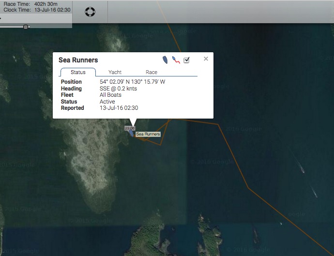
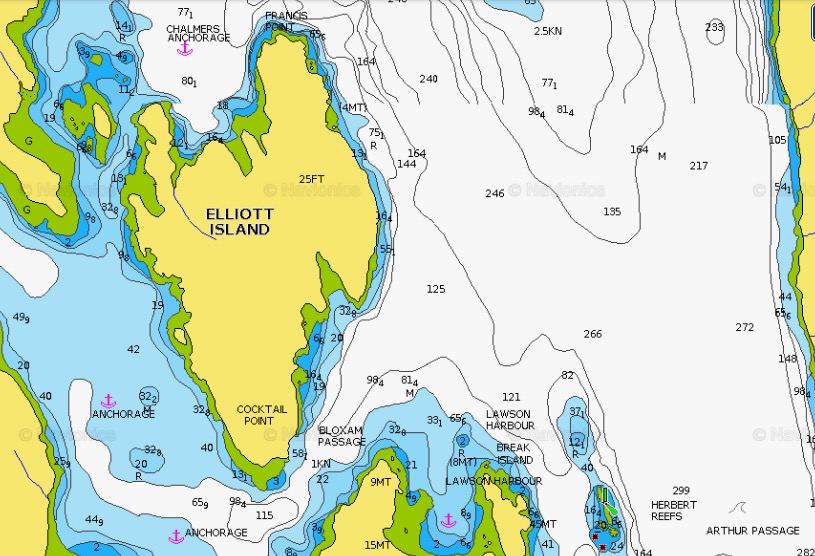
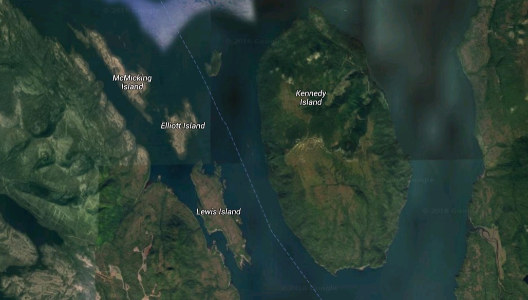
Around 21:00 on Tue July 12, Thomas anchored in a narrow bay on the southeast side of Elliott Island (in Arthur Passage, just south of Prince Rupert). Wind and tide combined to cause his centerboard to touch the bottom. Here’s the story of how he escaped!
Skeena current anchoring SNAFU
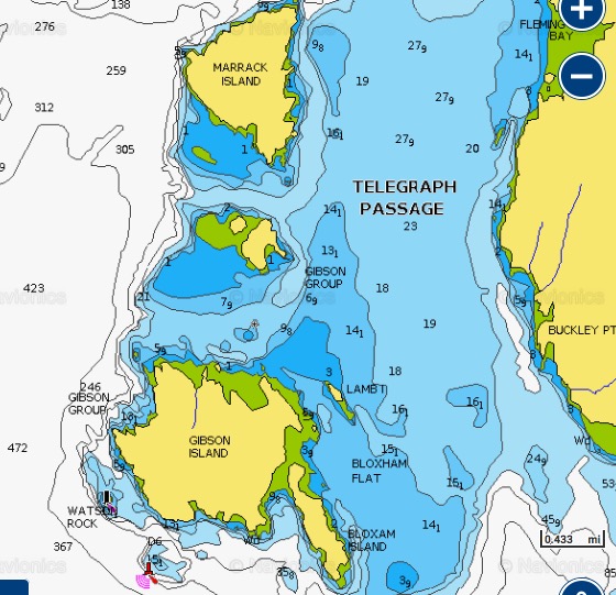
Earlier that afternoon (Tue 7/12), Thomas stopped at the north end of Gibson Island in Telegraph Passage after exiting the north end of the amazingly long Grenville Channel. This area is influenced by the outflow of the Skeena River and strong tides. Leaving Gibson he started drifting southwards at 1-2 knots back towards Grenville over the shallow region charted as Bloxham Flat. He quickly deployed his anchor to stop the backwards progress and this is the story of cascading crisis that ensued!
At the time, Thomas wondered if “bad spirits” were at work in this fiasco. Together, we wondered if this area was fatefully close to the location of the first deadly ordeal suffered by the original Sea Runners (our #R2AK team’s namesake and Ivan Doig’s fictional depiction of 4 Scandinavians escaping by native canoe from a Russian fur outpost in Sitka and paddling to Astoria). Having spent 4 days weathering a storm and eating ducks on the northern shores of Haida Gwaii (after crossing Dixon Entrance, then known as Kaigani Strait), they sailed “across the [Hecate] strait and once more into a scatter of shoreline islands.” This was likely the Philip, Prescott, and Porcher Island groups. They then paddled southward for 4 days, before arising to the jolt of seeing a canoe on the beach when theirs was hidden in the spruce forest. It was there — as they paddled furiously away from Wennberg’s successful smashing of the bow of the native’s canoe — that their leader and navigator Melander took a took a rifle ball to the back of his head. So, depending on how far they paddled each day, the region of bad juju for Sea Runners may be anywhere from the north end of Grenville to Bella Bella…
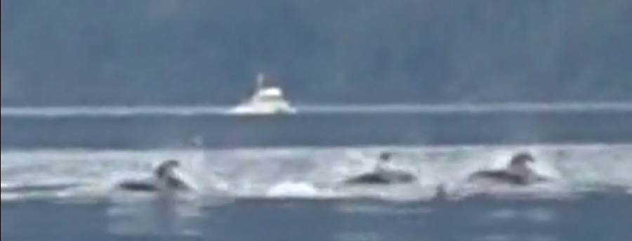
Close encounters with marine mammals
Thomas talks about being eyed by a humpbacks, spotting dozens of humpbacks and minkes before entering Grenville Channel, and bumping into Pacific White-sided dolphins (aka Lags) south of Cape Caution.
Thoughts on the Seascape 18 as a Race to Alaska boat
Thomas notes top speeds during the Race, as well as performance changes before and during the Race. He also describes of a couple of broaches — one in Johnstone Strait and one in Squally Channel — and some of the difficulties he had propelling the Seascape 18 under pedal power.
Sleep deprivations
Thomas contemplates how little sleep he’s gotten during the first couple weeks of his R2AK 2016, and how he’s dealt with being on the helm for 16-18 hours per day.
Two slightly hypothermic experiences
Thomas talks about how he warmed back up after getting wet in an unexpected deluge and running out of energy as he jibed continuously for 6 hours in Grenville Channel.